
Remote sensing and GIS in agriculture
A 2018 research conducted by ESRI shows that 73% of farmers implement Geographic Information Systems (GIS) to monitor their crops. This technology assists them in refining field management, identifying pests and diseases early, and enhancing crop production.
A study in 2020 that the USDA-NASS had, suggests that more than 50 million acres of agricultural land in the United States are surveyed with GIS and remote sensing technology to evaluate soil condition and its compatibility with various crops.
A 2019 analysis from the World Resources Institute indicates that employing precision agriculture through GIS and sensing technologies can lead to a reduction of up to 30% in water consumption and up to 20% in fertilizer usage, aiding in the adoption of more sustainable agricultural methods.
All the data points out that applications of GIS and sensing technologies are successful, and have a promising future in agriculture. So, how can a farmer implement them, and what technical resources are required? Let’s go into more detail.

What is GIS in agriculture?
Geographic Information Systems or GIS in agriculture refer to a powerful set of tools for collecting, analyzing, and visualizing spatial data related to agricultural activities. GIS technology integrates hardware, software, and data for capturing, managing, analyzing, and displaying all forms of geographically referenced information. In the context of agriculture, GIS is used for a wide range of applications, providing critical insights and aiding in decision-making processes. Here are some widespread cases of the use of GIS in agriculture:
Soil Analysis. By analyzing spatial data, GIS can map soil types, moisture levels, and nutrient contents. This aids in assessing soil health and suitability for various crops, enabling farmers to apply precise amounts of fertilizers and amendments where needed.
Land use and crop management. One GIS application in agriculture helps in mapping and monitoring crop types, crop health, and crop yields across different geographical locations. This information is vital for optimizing crop rotations, planting schedules, and harvesting times.
Pest and disease monitoring. GIS enables the identification of patterns and hotspots of pest and disease outbreaks. This information can be used to target interventions, reducing the spread of pests and diseases and minimizing crop losses.
Irrigation management. Through the analysis of terrain, soil types, and crop water needs, GIS helps in designing efficient irrigation systems. It can pinpoint areas that require more or less water, optimizing water use and contributing to water conservation efforts.
Precision farming. GIS is a cornerstone of precision agriculture, where it’s used to analyze data from various sources, including satellites and drones, to manage fields at a very granular level. This approach allows for the precise application of water, fertilizers, and pesticides, enhancing yields while minimizing environmental impacts.
Resource management and planning. GIS supports the management of agricultural resources by enabling the efficient planning of farm infrastructure, such as roads, storage facilities, and drainage systems. It also assists in land use planning and the conservation of natural resources.
Market analysis and logistics. By analyzing spatial data, GIS can help farmers and agricultural businesses understand market demands, optimize supply chains, and plan for transportation and distribution, ensuring that products reach the market efficiently.
Environmental monitoring and sustainability. GIS is used to monitor environmental changes and their impact on agriculture, such as changes in climate patterns, land degradation, and water availability. This information is crucial for developing sustainable farming practices that can adapt to and mitigate the effects of environmental changes.
The Five Main Functions of GIS
Geographic Information Systems (GIS) are powerful tools that help manage, analyze, and visualize spatial data. The five main functions of GIS are:
Data Capture & Input
Collects geographic data from various sources (satellite imagery, GPS, surveys, etc.).
Converts raw spatial data into a digital format for processing.
Data Storage & Management
Organizes large volumes of spatial and attribute data in databases.
Ensures data integrity, security, and accessibility for analysis.
Data Analysis
Performs spatial queries, pattern detection, and predictive modeling.
Supports decision-making by analyzing relationships between geographic features.
Data Visualization
Creates maps, charts, and 3D models for better understanding.
Helps in identifying trends and presenting complex data visually.
Data Sharing & Output
Exports GIS findings in various formats (maps, reports, dashboards, etc.).
Integrates with other systems for real-time data updates and collaboration.
These functions make GIS essential for urban planning, agriculture, environmental monitoring, and many other industries.
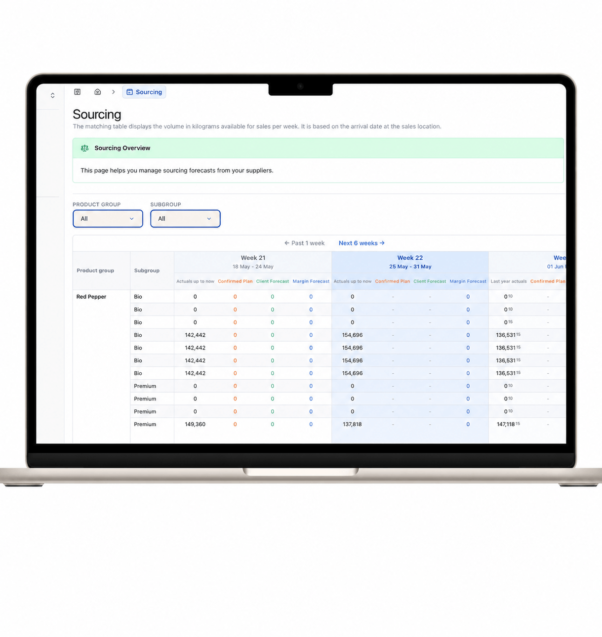
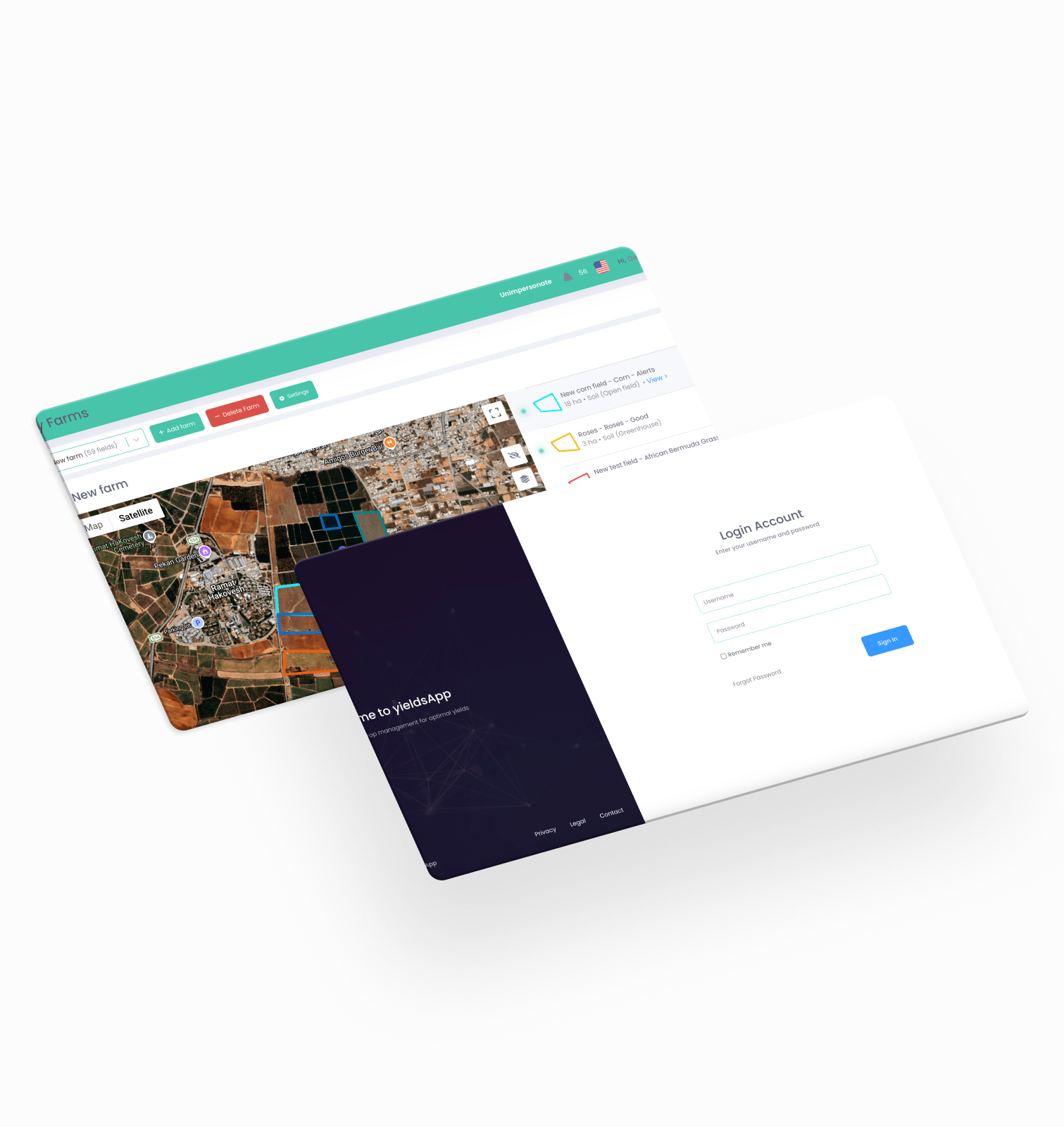
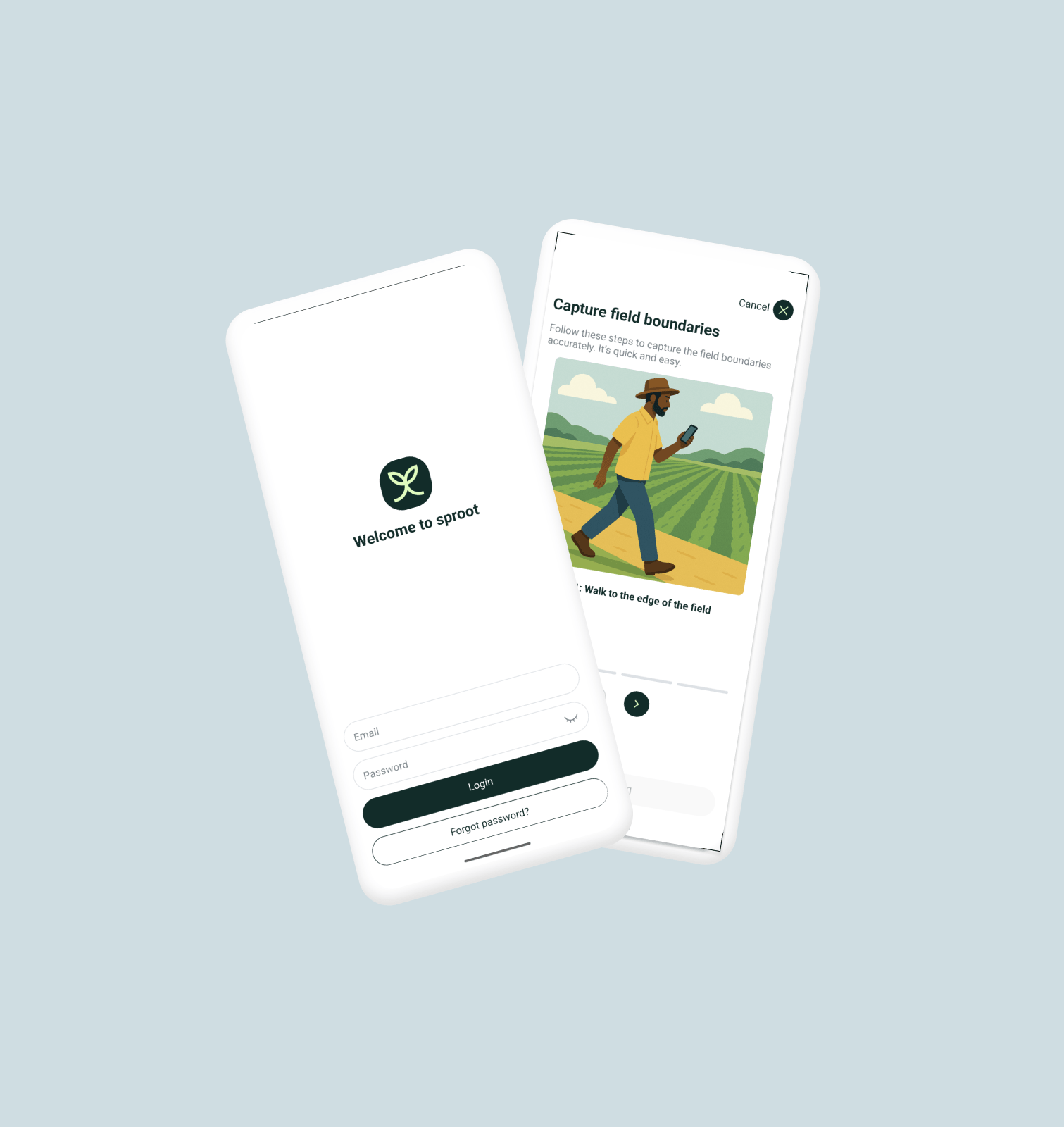
Integrate remote sensing data with other agricultural management systems, such as IoT devices, GIS platforms, or farm ERPs
What is remote sensing in agriculture? 10 examples of GIS in agriculture
Remote sensing in agriculture refers to the technique of obtaining information about the earth’s surface, including crops, soil conditions, and environmental factors, without making direct contact. This is achieved through sensors mounted on satellites, aircraft, drones, or other platforms that capture data using various parts of the electromagnetic spectrum, such as visible light, infrared, and microwave. Remote sensing technology plays a crucial role in modern agriculture by providing detailed, timely, and accurate information to support decision-making processes. Here are some of the key applications of remote sensing in agriculture:
Crop monitoring and management. Remote sensing allows for the continuous monitoring of crop health, growth stages, and overall vegetation vigor. By analyzing data on reflectance from crops, it can help identify stress factors such as water scarcity, nutrient deficiencies, pest infestations, or disease outbreaks before they become visible to the naked eye.
Soil moisture and condition assessment. Sensors can detect variations in soil moisture and composition, providing valuable information for irrigation management and soil conservation practices. This data helps in applying water and fertilizers more efficiently, tailored to the specific needs of different crop zones.
Yield prediction and estimation. By analyzing historical and current remote sensing data, models can be developed to predict crop yields. This information is invaluable for farmers, policymakers, and supply chain stakeholders for planning and decision-making.
Precision agriculture. Remote sensing is a key component of precision agriculture, enabling the creation of detailed maps of variables such as crop health, soil conditions, and moisture levels. These maps can then guide variable-rate technology (VRT) equipment to apply the right amount of water, fertilizers, and pesticides where they are needed most, optimizing inputs and reducing environmental impact.
Land use and cover mapping. It provides detailed information on land use patterns and changes over time, helping in the planning and management of agricultural lands, detecting shifts in agricultural practices, and assessing the impacts of policies and interventions.
Drought and water stress detection. Remote sensing can identify areas affected by drought or water stress early on. This allows for timely interventions to mitigate the impact on crops and optimize water use.
Pest and disease surveillance. Changes in plant reflectance can indicate the presence of pests or disease. Remote sensing technologies enable the early detection of these threats, allowing for targeted interventions to protect crops.
Environmental impact assessment. It is used to monitor the effects of agricultural practices on the environment, including land degradation, deforestation, and changes in biodiversity. This helps in developing more sustainable farming practices.
Frost detection and weather anomalies. Remote sensing data, especially from thermal infrared sensors, can detect sudden temperature drops that may cause frost damage. Apple orchards in Washington State, for example, use UAV thermal imagery to detect microclimates and trigger frost protection systems.
Carbon sequestration and regenerative agriculture monitoring. Remote sensing is being used to quantify biomass and assess carbon storage in soil and vegetation. This supports carbon credit validation and is crucial in verifying regenerative practices like cover cropping, rotational grazing, and no-till farming.

Practical applications of GIS in agriculture
Bayer Crop Science employs Google Cloud for the analysis of billions of acres of terrain to gain deeper insights into the soil properties vital for our food crops’ growth. Utilizing a range of services provided by Google Cloud, Bayer’s data science teams are able to import, preserve, examine, and display geospatial information, crafting distinctive business perspectives.
Deere & Company uses Geographic Information Systems (GIS) and remote sensing to forge advancements in precision farming, aiding agriculturalists in enhancing crop production while minimizing ecological footprints. Notably, Deere’s platform, the John Deere Operations Center, integrates satellite data and various analytics to furnish agriculturists with insights into their fields, including data on soil hydration, plant vitality, and equipment efficiency.
Corteva Agriscience leverages GIS and remote sensing technologies to innovate and offer new solutions aimed at enhancing farm productivity and crop protection. A prime example of their technological application is the Enlist Weed Control system. This system employs satellite imagery along with various data points, enabling farmers to detect and effectively manage weed infestations.
Having troubles with remote sensing project?
FAQ
1. What is GIS, and how is it used in agriculture?
2. How does remote sensing benefit agriculture?
3. Can GIS and remote sensing technologies help in water management?
4. What are the environmental benefits of using GIS and remote sensing in farming?
GIS and remote sensing support sustainable land management practices, help monitor and combat the effects of climate change on agriculture, and contribute to preserving biodiversity and soil health.


Leave a comment