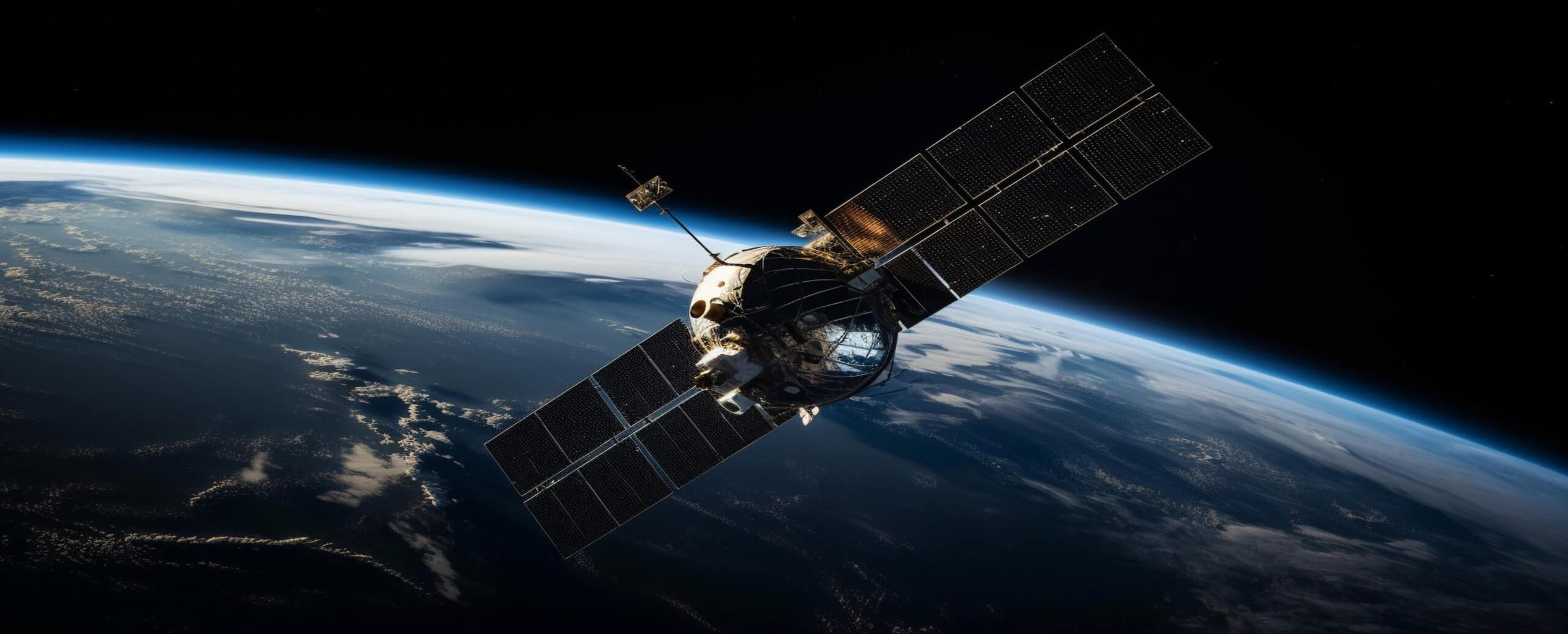
High resolution satellite imagery in precision agriculture
High resolution satellite imagery: Benefits, Providers, and the Scaling Cost Nobody Talks About
High resolution satellite imagery is one of the most powerful intelligence layers you can add to an agriculture platform. It is also the one most likely to quietly break your unit economics as you scale. Here is what most teams get wrong — and how to design it right.
The intelligence layer that scales — until it doesn’t
Most satellite data providers charge per hectare, per request, or per processed area. When you are monitoring a few hundred fields, the cost is entirely manageable. The numbers fit neatly into a product budget, and the feature ships without much financial scrutiny. But when an AgTech platform begins operating at real scale — thousands of farms, millions of hectares, frequent monitoring intervals — the economics change completely and quickly.
The reality becomes simple: the more satellite data you look at, the more you pay.
High-resolution imagery from satellites has become a standard intelligence layer in modern agriculture platforms. NDVI mapping, crop health monitoring, field boundary detection, soil variability analysis — these tools bring genuine operational value, and integrating them into digital agriculture software absolutely makes sense. But the cost side of satellite data is consistently underestimated, particularly by engineering and product teams who evaluate the integration at small scale and only discover the problem once the platform is growing.
This article addresses that challenge directly. We cover what high resolution satellite imagery actually means technically, what it is used for in precision agriculture, which providers offer it and at what specifications, why the cost compounds as platforms scale, and how to design a remote sensing strategy that remains economically sustainable regardless of platform size.
Build with Qaltivate
What “high resolution” actually means in satellite imagery
Spatial resolution in satellite imagery refers to the size of one pixel as it represents area on the ground. A 10-metre resolution image means each pixel covers a 10×10 metre patch of the Earth’s surface. A 0.3-metre image means each pixel represents just 30 centimetres — enough to distinguish individual crop rows, irrigation channels, or structural features within a field.
In practice, the satellite imagery market available to AgTech platforms is divided into three tiers:
| Resolution | Category | Examples | Source |
|---|---|---|---|
| <1m | Very high resolution | WorldView-3 (0.31m), Pléiades (0.5m) | WorldView-3 |
| 3–5m | High resolution | Planet Labs SuperDove (3.7m GSD) | ESA / PlanetScope |
| 10–30m | Medium resolution | Sentinel-2 (10m), Landsat 8/9 (15–30m) | ESA Copernicus |
Spatial resolution alone does not determine how useful a dataset is for agricultural monitoring. The other critical variable is temporal resolution — or revisit frequency — which describes how often a satellite captures imagery of the same location. This is where the real trade-off lives.
Very high resolution satellites like WorldView-3 offer extraordinary spatial detail at 0.31 metres panchromatic with an average revisit time of less than one day. Sentinel-2 provides 10-metre resolution imagery with a 5-day revisit cycle over most of the world — completely free of charge through the European Copernicus programme. Planet Labs’ PlanetScope constellation of 430+ SuperDove satellites images nearly all of Earth’s landmass every day at 3.7-metre ground sample distance.
For most agricultural monitoring workflows, a 3-metre image updated daily delivers more actionable intelligence than a 0.3-metre image updated every two weeks. Matching resolution to the actual decision being supported is more important than maximising resolution for its own sake — and it is the single biggest lever available for controlling satellite data costs at scale.
The resolution trade-off triangle
1. Spatial resolution:finer pixels reveal more detail per image, but increase data file size, processing cost, and API cost per request
2. Temporal resolution:higher revisit frequency means more current data, but multiplies the total number of requests and data volume over time
3. Cost:commercial very high resolution imagery is priced per km² or per tasking request; medium resolution public data (Sentinel-2, Landsat) is free but has fixed revisit schedules and lower spatial detail
What high resolution satellite imagery is used for in agriculture platforms
Satellite imagery serves multiple functions across the precision agriculture stack. The specific resolution required varies substantially by use case — and understanding this difference is the first step toward building a cost-efficient data strategy.
NDVI and vegetation index monitoring is the most widespread application. The Normalised Difference Vegetation Index uses near-infrared and red spectral bands to quantify plant health and biomass. For regional and seasonal crop health tracking, 10-metre Sentinel-2 data is typically sufficient. Field-level anomaly detection may benefit from the 3–5 metre resolution that Planet Labs provides. Either way, this use case rarely justifies sub-metre commercial imagery.
Field boundary detection and delineation is the process of automatically identifying where one field ends and another begins — critical for outgrower management, input allocation, and compliance workflows. This application benefits from 3 to 5 metre resolution, which allows machine learning models to detect field edges, hedgerows, irrigation channels, and access roads with acceptable accuracy.
Crop type identification — distinguishing maize from soybeans from fallow land across large areas — is achievable with medium resolution multispectral imagery when combined with temporal stacking: comparing multiple images across a growing season to identify phenological patterns unique to each crop type.
Disease and pest hotspot detection requires finer spatial detail. Stress patterns that manifest as subtle colour variation across a sub-hectare zone are difficult to detect reliably at 10-metre resolution. This is where 3–5 metre commercial imagery provides clear value over free public datasets, and where the investment is most directly tied to an agronomic outcome.
Yield prediction and harvest planning relies on biomass estimation throughout the growing season. High revisit frequency at moderate resolution is typically more valuable here than high spatial resolution at low revisit — the temporal continuity of the data matters more than the pixel size.
Use case by resolution requirement
1. Sub-1m (WorldView, Pléiades Neo):infrastructure asset inspection, individual plant-level analysis, precise input application mapping, compliance documentation requiring photographic-quality evidence
2. 3–5m (Planet Labs SuperDove):crop stress and disease hotspot detection, fine-scale field boundary mapping, irrigation pattern analysis, monitoring rapidly changing conditions at daily cadence
3. 10m (Sentinel-2, free):NDVI seasonal monitoring, regional crop health trends, yield forecasting, large-area land use classification — the primary workhorse for most agriculture platforms at scale
4. 15–30m (Landsat 8/9, free):long-term historical analysis, macro crop mapping, multi-decade land use change detection — ideal for baseline datasets and research-grade archival work
The main providers: a practical comparison for AgTech teams
The satellite imagery market has matured significantly. AgTech teams now choose between open public datasets and commercial providers based on resolution, revisit frequency, API accessibility, spectral bands, and pricing model. The table below summarises the key options, with direct links to the technical specifications for every data point.
| Provider | Resolution | Revisit | Pricing | Best for |
|---|---|---|---|---|
| Sentinel-2 (ESA/Copernicus) | 10m / 20m / 60m | 5 days | Free & Open | NDVI, seasonal crop health, large-scale monitoring |
| Planet Labs SuperDove | 3.7m GSD | Daily | Subscription / per area | Daily field monitoring, crop stress, change detection |
| Maxar WorldView-3 | 0.31m pan / 1.24m MS | <1 day avg. | Per km² / tasking | Very high detail inspection, compliance imaging |
| Airbus Pléiades (1A/1B) | 0.5m pan / 2m MS | Daily | Per request / tasking | On-demand high resolution, stereo 3D mapping |
| Landsat 8 & 9 (USGS/NASA) | 15m pan / 30m MS | 16 days (8 combined) | Free & Open | Historical baselines, long-term land use trends |
A critical practical note: most scalable AgTech platforms do not choose a single provider. They operate a tiered source strategy — using free open data such as Sentinel-2 as the default monitoring layer for all fields, and triggering commercial high resolution imagery only when a specific event or user action justifies the cost. This hybrid approach can reduce satellite data expenditure substantially compared to applying commercial imagery uniformly across all monitored areas.
It is also worth noting that the Airbus Pléiades Neo constellation now offers 30cm native resolution with intraday revisit capability over any point on Earth — the commercial market continues to push resolution downward while increasing revisit frequency, which makes provider selection a decision worth re-evaluating as your platform evolves.
Why high resolution satellite data gets expensive — and compounds at scale
Most satellite data providers charge per hectare, per request, or per processed area. This model works well when you analyze a few fields. But when an AgTech platform starts monitoring thousands or millions of hectares, the economics change quickly. The more satellite data you look at, the more you pay.
To understand why the cost becomes significant, it helps to make the numbers concrete. Consider a mid-sized outgrower management platform monitoring 5,000 enrolled farms averaging 5 hectares each — a total of 25,000 hectares under active management. At a weekly monitoring cadence using commercial 3-metre imagery, that platform generates 52 data requests per monitored area unit per year. Across 25,000 hectares, this represents a substantial volume of paid API calls, before accounting for any analytics layers, higher resolution spot checks, or growth in the enrolled farm base.
Now consider that the same platform doubles its coverage the following year — a normal and desirable outcome for a growing agricultural platform. The satellite data cost doubles with it, automatically, with no change to the product. This is the structural reality of per-hectare pricing models: they scale linearly with platform growth, which means they can quickly outpace revenue if the data strategy was not designed with scale in mind from the beginning.
The cost compounds further when resolution decisions are made without scrutiny. A platform that applies commercial very high resolution imagery uniformly across all monitored areas — rather than selectively for specific high-value workflows — creates a cost structure that becomes unsustainable well before the platform reaches meaningful agricultural scale.
There is also a data processing dimension that is easy to overlook in early-stage budgets. Higher resolution imagery produces significantly larger data files. A sub-metre image of a 10-hectare field is many times larger than a 10-metre image of the same area. Storage, compute, and data transfer costs all scale with image resolution and monitoring frequency — adding a second layer of cost that is often invisible until the platform is already operating at scale.
In agriculture technology, success is not about collecting more data. It is about turning the right data into practical decisions without breaking the business model. Remote sensing is not just a feature — it is an architectural decision that shapes the economics of the entire platform.
The challenge is compounded by how satellite integrations are typically evaluated. A developer builds a proof-of-concept using a small trial dataset. The feature works well, the resolution looks impressive in the product demo, and the integration ships. Only months later, when the platform is running in production across thousands of real fields, does the data cost become visible in the infrastructure budget. By that point, re-architecting the data layer is significantly more expensive than designing it correctly from the start.
How to design a cost-efficient remote sensing strategy for your platform
Building a scalable satellite data strategy is not about using the least data possible — it is about using the right data for each specific decision, and designing the system to make that distinction automatically. There are four architectural decisions that determine the long-term cost profile of any remote sensing integration.
1. Source selection: tier your providers by use case
Not every workflow requires commercial high resolution imagery. For broad seasonal monitoring across large areas, Sentinel-2’s free 10-metre data is sufficient and frequently preferable — it provides consistent global coverage with a 5-day revisit cycle at zero marginal cost. Commercial data should be reserved for use cases where its specific properties — finer spatial resolution, daily cadence, or on-demand tasking — directly enable a business outcome that free data cannot. Defining this boundary explicitly, and enforcing it at the system architecture level, is the most impactful cost control available to any AgTech platform.
2. Processing frequency: match data requests to decision cadence
One of the most impactful cost levers available to platform architects is processing frequency. Not all fields require daily imagery. Routine seasonal monitoring may only need weekly or bi-weekly NDVI refresh. Fields in critical growth stages, or those flagged by an anomaly detection layer, can receive more frequent updates. Designing the data pipeline to be event-driven rather than uniformly scheduled can significantly reduce total API request volume without reducing the quality of insight delivered to end users.
3. Resolution matching: use the minimum resolution the decision requires
Each workflow in a precision agriculture platform has a natural resolution requirement determined by the decision it supports. NDVI monitoring for seasonal crop health does not require sub-metre imagery. Disease hotspot detection may. Automating the selection of imagery source based on workflow type — Sentinel-2 for broad monitoring, Planet for field-level anomaly investigation, very high resolution commercial imagery only for compliance documentation or deep inspection tasks — removes a significant cost driver from the system without any loss of analytical quality where it matters.
4. Request and storage optimisation: reduce redundancy at the system level
At scale, inefficiency in data requests compounds rapidly. Processing the same area twice because two independent workflows trigger separate API calls, storing un-cropped full-tile images when only a small field polygon is needed, or refreshing cached imagery that has not changed since the last request — these patterns are invisible at small scale and expensive at large scale. Building caching, deduplication, and smart bounding box logic into the data pipeline from the beginning is cheaper than retrofitting it later under cost pressure.
Satellite data is a strategic layer, not just a feature
High resolution satellite imagery delivers genuine and substantial value to precision agriculture platforms. From NDVI monitoring that guides input decisions, to field boundary detection that underpins outgrower management, to crop health analytics that support agronomic recommendations — the intelligence that satellite data provides is increasingly foundational to how agricultural operations are managed at scale.
But the integration decision is architectural, not just technical. The platforms that build this capability sustainably are the ones that treat resolution selection, processing frequency, provider choice, and data request optimisation as engineering decisions with long-term financial consequences — not as configuration choices made once at integration time and never revisited.
The right satellite data strategy is not the one that provides the most data. It is the one that delivers the right resolution, at the right frequency, from the right source, for each specific decision — without creating a cost structure that grows faster than the platform itself. In precision agriculture, the data is only as valuable as the decisions it enables. And those decisions only stay practical when the economics of collecting the data remain sustainable at scale.